Flight April 26, 2005

CFI: Jason Hill
MapComments

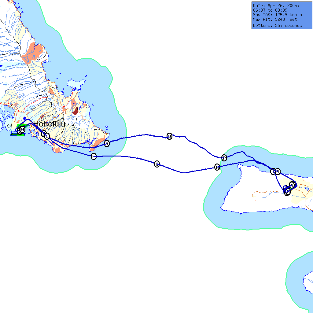
Click here for individual segment maps
First interisland flight! (First one where I was driving, anyhow.) Jason covered auto-pilot and the various things that it references. Looking at the map, it's pretty obvious that we used auto-pilot on the way over, and did simulated intstrument with (bad) VOR tracking and unusual attitude recovery on the way back.

We did short field and soft field landings at Molokai airport, very little intrigue, other than a clip popped out of the cowling on one upwind, and we executed one 360 degree turn to space ourselves behind an in-bound helicopter. It was good to get out of the Kalaeloa/Practice Area rut a little.