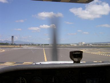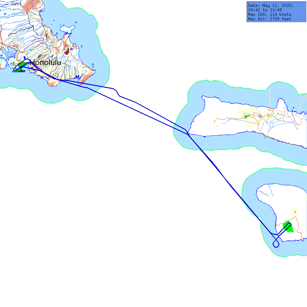
Somehow, when there's paperwork to do before a flight, it always takes up the available time. I got up at 6:30, with an eye toward going to McDonald's or something to fetch a hearty breakfast, but getting the nav logs and flight plans ready took all my time. As I drove to FSH, the coffee jitters were overtaking the peanut butter and toast, so I stopped at Chevron on Lagoon Drive (they recognize me now-a-days...) and bought an apple fritter and some juice. Thus fortified, I went to confirm my aiplane's tail number before I filed the flight plans.
The tail number was N3554Y, the same plane as my intro flight, the same plane as my first solo, sort of my lucky airplane, but not lucky for everybody, it's been prop-struck twice, once within a week after I soloed in it before. I was thinking I would fly visual and VORs, and since the autopilot is busted, I must have been thinking right. It's not a big deal when you're by yourself -- in the past when Jason has demonstrated the autopilot, it helped me pay attention to the conversation, but today there was nothing to do but fly.
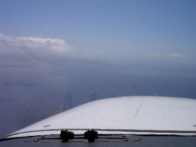
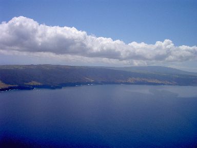
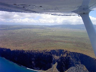
Hazy today -- I was just able to make out Molokai before I turned across the channel. The flight was pretty uneventful, at Lanai I had to wait for traffic, which gave me a chance to cruise off shore and take a couple of pictures. FSS Radio said that the wind was from 150 degrees at 8 knots, so I went left downwind to land on runway 21. Pretty squirrelly getting down there, 5000 feet sounds long, until you're trying to set down in lumpy air. No prop-strike for 3554Y today. Really bumpy clearing the cliffs -- LNY pattern altitude is 2100 feet (800' above the airport at 1308' amsl) and my flight plan for the return was at 2000, so I had to climb out, clear the cliffs, and then settle about a hundred feet.
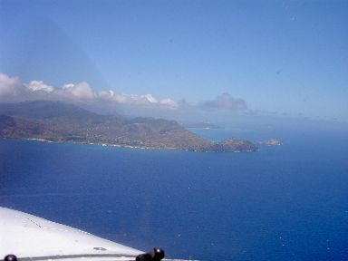
When I got to Laau Pt. Molokai on the way back, there was no Oahu visible. I actually had a moment of clinging mentally to Molokai, while I confirmed that I was indeed on the east end of Molokai, looking west-northwest, before striking off into the void. I checked the GPS, the VORs, and the shape of the land below. Finally, Makapuu peeked out from behind its cloud. I was glad not to have to strike out on faith.
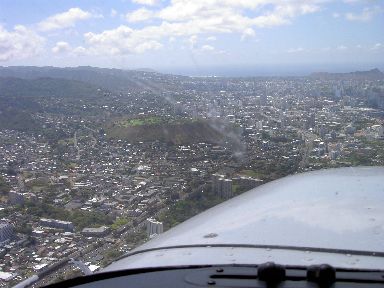
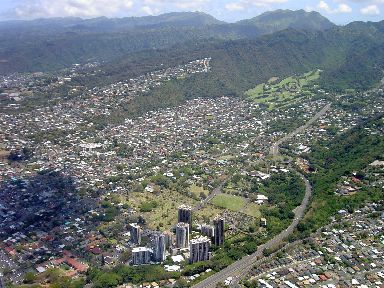
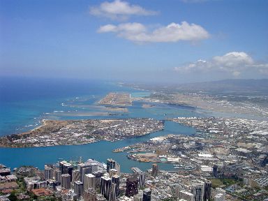
The HNL approach ATC cleared me in at Kokohead, after a short turn to stay outside, and sent me in Freeway Arrival, handing me off to the tower north of Diamondhead, as usual. Tower said "maintain 2000, report downwind". So I maintained 2000, right up to the airport, and reported "turning left downwind for 4L at 2000 feet". He cleared me to land. Oy. I pulled the throttle out and dropped 1200 feet of altitude in about 14,000 feet of horizontal, turning base at about 700. I had it settled (slowed) down pretty much by the final, yet the intrigue wasn't over, since I had to pretty much peg the left rudder to get the airplane travelling the same direction as the stripe as I levelled off. All of this, and it was a little floaty -- I had promised to hold short of runway 8 left for another plane's takeoff. I got it on the ground and became aware that the tires were skidding. I eased and massaged the brakes, to where I got stable at 10 knots or more of taxi, short of 8L. Ooops. Here comes taxiway Echo -- tower says "turn right at Echo". The turn wasn't too bad, and I suppose I wasn't going all that fast, but I was ready to stop processing inputs. I was grateful to the other pilots for tying up the ground freq for a minute or two so I could just sit there. I punched into a gap in the radio traffic and got clearance to taxi to parking.
All in all, this flight was a good experience; meeting the challenges and returning the airplane in similar condition is more instructive than perfect, smooth, runway-aligned winds.